Who we are
Precision Aerial Intelligence & 24/7 Asset Protection
West Yorkshire’s Premier Technical UAV Partner
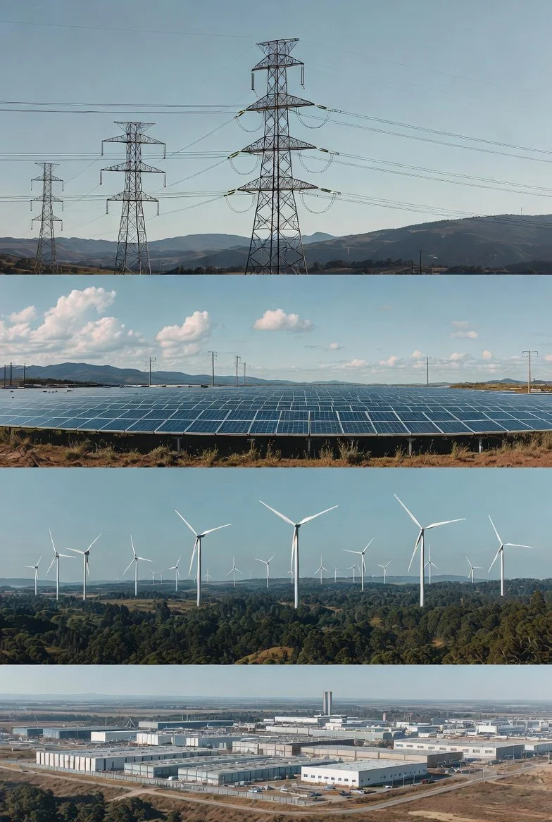
Based in the Bradford area, Speedee AerialWorks provides industrial-grade UAV services that operate where others cannot. We combine elite-level piloting with a multi-sensor payload designed specifically for the rigorous demands of British infrastructure and the unpredictability of Yorkshire weather.
The Capability Gap: What Sets Us Apart
We don't just capture images; we capture measurable, survey-grade data. Our fleet is equipped with RTK Precision Positioning, integrated Laser Rangefinding, and high-resolution thermography, allowing for precision metrics from safe standoff distances.
Centimeter-Level RTK Accuracy: Utilizing Real-Time Kinematic positioning, our aircraft achieves sub-decimeter horizontal and vertical accuracy. This ensures repeatable flight paths for long-term structural monitoring and hyper-accurate metadata for every frame captured.
1,800m Laser Rangefinding (LRF): We provide instantaneous distance-to-target data. This allows us to pinpoint the exact location of defects on HV lines or bridge pylons without physical access.
Live Area & Volume Measurement: Utilizing onboard AI, we calculate the square footage of roof damage, the volume of stockpiles, or the perimeter of a breach in real-time.
IP-Rated All-Weather Reliability: Our aircraft are hardened against moisture and wind (IP-rated), ensuring we meet your project deadlines regardless of the Northern climate.
Operational Excellence: Day & Night
Our workflow is designed to maximize your site's uptime and security:
DAY: Industrial Inspection
Specializing in HV Towers, wind turbines, bridges, and commercial buildings. Our 48MP sensor with 112x Hybrid Zoom allows us to read serial numbers or identify micro-fissures from 100+ meters away, keeping the aircraft well clear of electromagnetic interference or structural hazards.
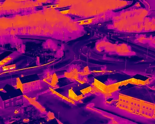
NIGHT: Thermal Surveillance & Security
By night, we shift to tactical security. Using high-resolution 640x512 Radiometric Thermal sensors, we monitor vast areas for heat signatures, unauthorized access, or equipment overheating—providing a superior nocturnal vantage point that traditional CCTV simply cannot match.
Our Technical Edge
To ensure the highest data fidelity for our clients, we utilize a specialized hardware stack that exceeds industry standards:
RTK Positioning: Centimeter-level precision for survey-grade mapping and structural monitoring.
Precision Measurement: Integrated Laser Rangefinder (up to 1,800m) for pinpoint GPS coordinate tagging.
Visual Clarity: 48MP optical sensors with 112x Hybrid Zoom for extreme-detail structural audits.
Nocturnal Intelligence: High-resolution Radiometric Thermal imaging for 24/7 monitoring.
Operational Resilience: IP-rated UAVs capable of maintaining stable flight in challenging British weather.
Fully Qualified & Insured
We hold all necessary CAA certifications and carry comprehensive public liability insurance tailored for industrial environments. We don't just fly; we deliver the data you need to make informed, high-stakes decisions.
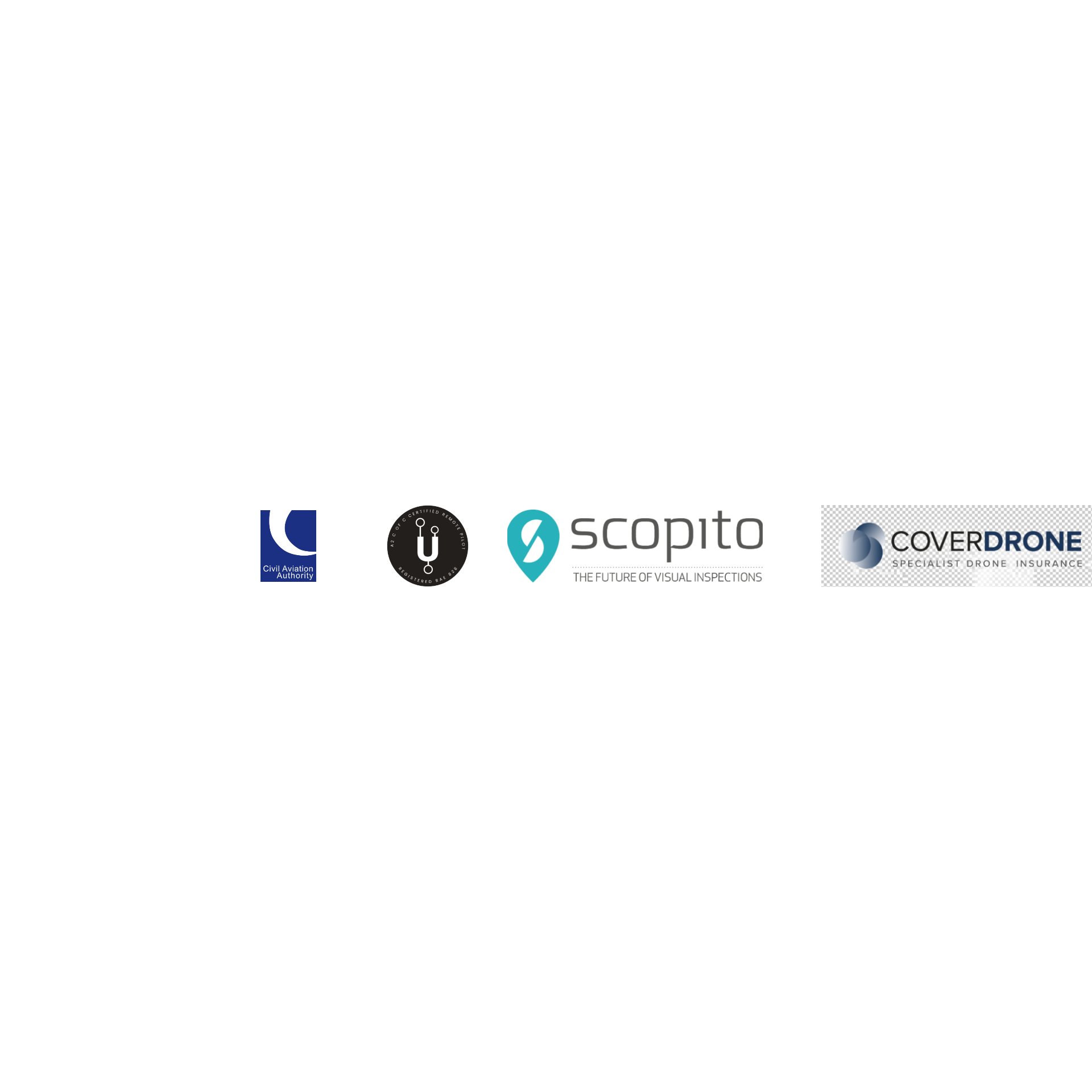
Acreditations & Partners